 vesseltracker.com
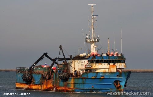
Vessel 'KARLA FAYE' IMO: 7237511, MMSI: 770576085
Live AIS position:
UTC. Near Montevideo),
updated 2025-11-19 15:26:40 UTC.
Find the position of the vessel 'KARLA FAYE' on the map. The latter are known coordinates and path.
marine traffic ship tracker show on live map
The current position of vessel 'KARLA FAYE' is -34.89927 lat / -56.22017 lng. Updated: 2025-11-19 15:26:40 UTCDetails:
Last coordinates of the vessel:
2025-11-19 15:26:40 UTC, -34.89927, -56.22017, course: 234, speed: 0